Independent Directions to this Site: From Boulevard des Allumettières or Highway 148, take the Chemin Eardley exit in Aylmer. Turn right or northwest onto Chemin Eardley or the continuation of Highway 148 and turn immediately right or west onto Rue Lattion. Proceed 0.8 km to Rue Beaulac. Turn right or northwest on Beaulac.
Ottawa River West: Quebec Route Directions: From the Lac des Chênes Marina in Aylmer, turn left or north on Rue Front and go 0.8 km to Autoroute l'Outaouais or Highway 148. Turn left or northwest on 148 and proceed 0.1 km to Rue Lattion. Turn left or west on Lattion and follow it 0.8 km to Rue Beaulac. Turn right or northwest on Beaulac.
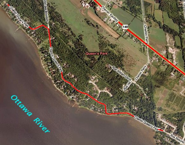
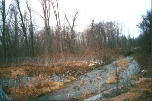
Site Description and Birding Information: Rue Beaulac quickly becomes Chemin Queen's Park where a creek flows into Alexandria Bay. Queen's Park is a lovely road along the river, then through beautiful deciduous woodland. Unfortunately, it is under development and may be much less interesting in a few years, though some of the forest is slated to be preserved as parkland.
Ottawa River West: Quebec Route Directions: From the northwest end of Chemin Queen's Park, return 0.6 km to its junction with Chemin des Boulders. Turn left or north on Boulders and go 0.8 km to Chemin Eardley or Hwy 148. Proceed 1.3 km NNW on Eardley to Chemin Terry-Fox. Turn left or south on Terry-Fox and enter the next site on this route, Chemin Terry-Fox.