GIDEON ADAMS PARK
Spring: ** Summer: ** Fall: ** Winter: **
Independent Directions to this Site: From Highway 416 take exit 49 (Roger Stevens Drive). Go northeast on Roger Stevens or Regional 6 for 4.0 km to River Road or Regional 19, just across the Rideau River bridge. Turn right or SSW onto River Road and go 5.8 km to the turnoff on the northwest or sharp right back into the parking area for Gideon Adams Park.
Rideau River East Side Route Directions: From the parking lot for the W.A. Taylor Conservation Area, return to Osgoode Main Street and turn left or northeast on it and return the 0.1 km to River Road or Regional 19. Turn right or southeast onto it and proceed 2.6 km to the turnoff on the northwest or sharp right back into the parking area for Gideon Adams Park.
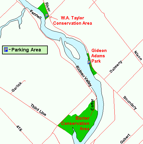 Map of Gideon Adams Park and area
Site Description and Birding Information: Just across the boundary into North Grenville is this tiny park along the Rideau River. It seems to be used as a primitive boat launch. Watch for Osprey along the river in summer. A branch track leads north from the boat launch area along the treed shoreline. South of the boat launch is a sizable patch of woods with several trails running through it, including one generally along the river. Excellent potential during migrations.
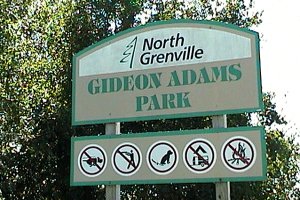 Gideon Adams Park Sign
|
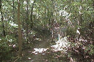 Trail South from Gideon Adams Park
|
Rideau River East Side Route Directions: From the parking lot for Gideon Adams Park, return to River Road or Regional 19. Turn right or south onto it and proceed 1.3 km to South Gower Boundary Road. Turn left of south on it and go 1.0 km to the next site on this route, the South Gower Boundary Road sod and turf farms.
Return to Rideau River East Side.
Return to Birding Ottawa Table of Contents.
|