THE CIRCLE MAP
In 1879, the Ottawa Field-Naturalists' Club (OFNC) was founded. In 1895, the various branches of natural history involved decided it would be important to have a common study area. A 30 mile circle centered in Ottawa was instituted. The official adoption of the metric system in Canada prompted the change, in 1981, to a just slightly larger 50 kilometre circle to be centered on the Peace Tower in downtown Ottawa.
1:250,000 scale National Topographic Series maps available at map stores or from the government can be mosaiced together to make an steering wheel sized map for the OFNC study area. The 50 kilometre Ottawa circle is mainly on 1:250,000 maps 31G and 31F, but if you wish to make a complete one, you will also need 31B & a tiny bit of 31C.
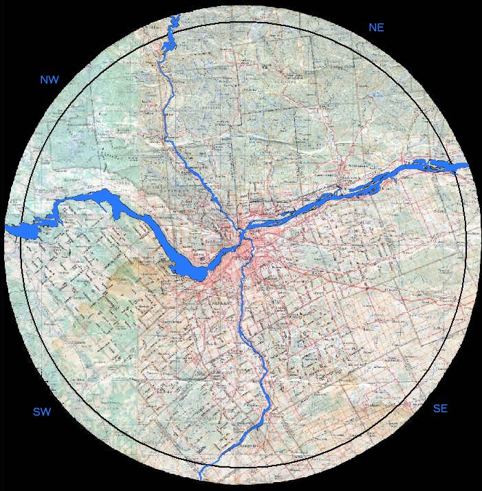
Along with the circle's diameter, the major rivers of the area that pass through Ottawa are the boundaries of the four quadrants used in this guide. The Ottawa River divides the circle roughly into north and south "halves". The Gatineau River divides the northern "half" into NW and NE quads, while the Rideau River divides the south "half" into SW and SE quads. The northwest quadrant may appear short-changed here, but it has, by virtue of Gatineau Park, the largest proportion of protected area.
The author has written a short program to allow those who can determine the UTM coordinates of a site, to easily determine the distance from the Peace Tower. Particularly useful in defining the outer bounds of the checklist circle or determining if a sighting falls within it. Simply enter the Northing and Easting and click the answer button. Run Distance Program.
Return to Useful Tools & RBA's.
Return to Birding Ottawa Table of Contents.
|